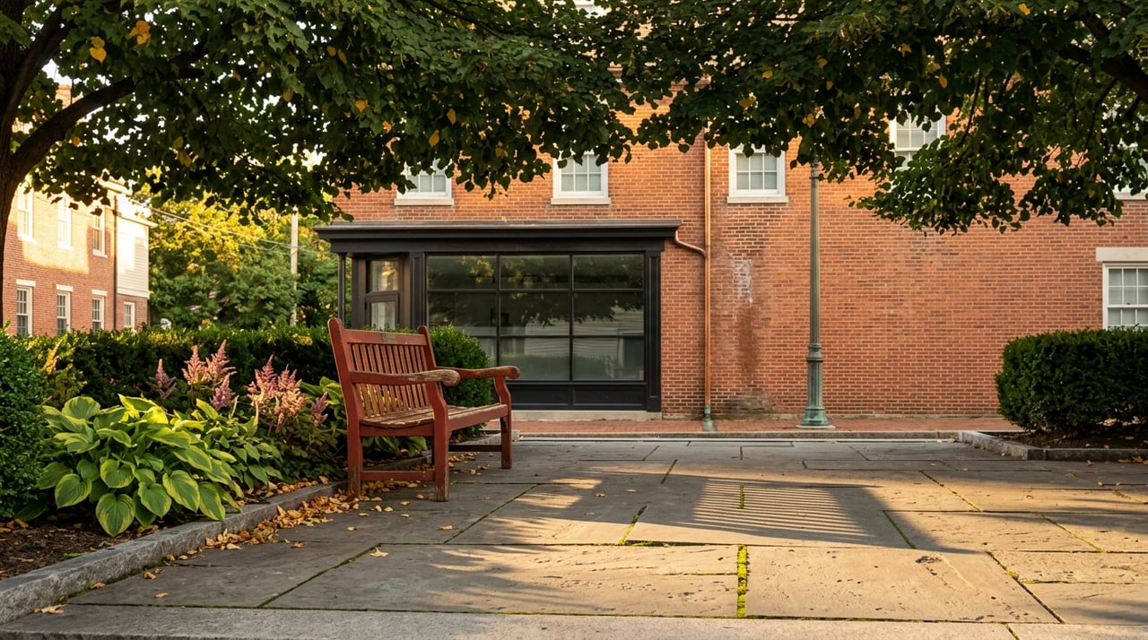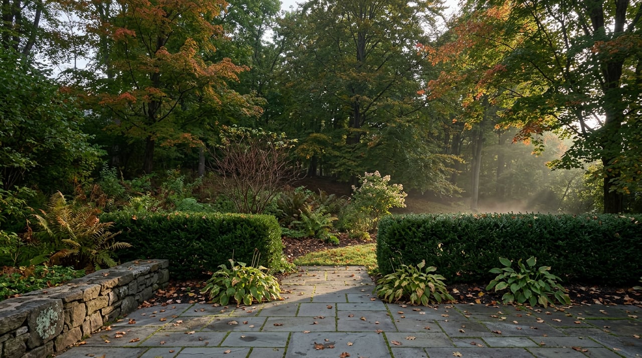
Step out onto Moore Avenue most mornings this month and you'll see the same thing: a runner with a headlamp she doesn't need yet, a retriever pulling toward the ravine entrance, someone in work clothes taking the long way to the St. Clair streetcar because the canopy is starting to turn and there's no reason to rush it. Ask any of them where they're headed and you'll get the same answer. The ravine. The loop. The trail.
It's one name for something that was never built as one thing.
Three Trails Share a Right-of-Way
What Moore Park residents call "the trail" is technically three separate sections stitched together: the York Beltline Trail west of Allen Road, the Kay Gardner Beltline Park between Allen Road and Mount Pleasant Road, and the Ravine Beltline Trail, which runs south from Mount Pleasant Cemetery through Moore Park Ravine itself. Only the last two touch Moore Park directly, and they don't feel like the same path. Kay Gardner is flat, wide, and shaded by a rail-bed corridor. The Ravine Beltline drops into Mud Creek's valley and starts to feel like something closer to backcountry.
The reason they share a route at all traces back to a railway that failed almost immediately. The Toronto Belt Line Railway opened in 1892 as a commuter loop meant to draw buyers to new suburbs north of the city, Moore Park among them. Passenger service lasted two years before the line went bankrupt. The tracks through the ravine's steep grade were pulled up during the First World War for scrap iron, and the right-of-way sat mostly idle for decades before the city converted it into the walking and cycling trail that exists today. The commuter railway that was supposed to make Moore Park more accessible failed within two years. The walking trail that replaced it has outlasted the railway by more than a century.
The Bridges Have Names Nobody Uses
Cross into the ravine section from Moore Avenue and you pass under a sequence of crossings that most people register only as obstacles between them and the next open stretch. The one at Heath Street East is Cat's Eye Bridge. Further south, the concrete span that carries traffic overhead is the Governors Road bridge, built in 1923 and restored in 2000, named for the Lieutenant Governors of Ontario who once resided at Chorley Park nearby.
If the direct ravine path feels too exposed or too busy on a given morning, there's a newer option: a switchback trail through Chorley Park itself, opened in November 2018, that offers an alternate descent toward Evergreen Brick Works. It's not an original feature of the Belt Line route. It's a twenty-first century addition, built specifically because the old rail grade wasn't the only way down.
Mud Creek's Banks Were Engineered, Not Just Eroded
Walk the stretch of the Ravine Beltline south of Cat's Eye Bridge and the creek beside you, Mud Creek, a tributary of the Don River, looks more deliberately shaped than a typical ravine watercourse. That's because it was. The Toronto and Region Conservation Authority completed a restoration of this section, known as Reach 3, stabilizing the river banks, clearing debris from the watercourse, and installing flow-control structures specifically to reduce erosion during major storm events. The project is finished, but the reason the banks along this stretch look more structured than the wilder sections further along the trail is that engineers were here first.
The Route Runs Through a Cemetery, Not Around One
The connection between Kay Gardner Beltline Park and the Ravine Beltline Trail isn't a detour around Mount Pleasant Cemetery. It runs directly through it. The trail enters the cemetery grounds, follows a marked route past the arboretum, and exits near Mount Pleasant Road before descending into the ravine proper. It's an unusual routing choice for a public trail, and it means anyone walking the full loop passes through a working cemetery as a matter of course, not as an aside.
If you're tracing the loop end to end from the Moore Avenue entrance, the order looks roughly like this:
- Moore Avenue trailhead into the Ravine Beltline Trail, descending toward Mud Creek
- Cat's Eye Bridge at Heath Street East, marking the start of the restored Reach 3 section
- Governors Road bridge, built 1923 and restored in 2000
- Chorley Park switchback, the 2018 alternate route down toward Evergreen Brick Works
- David A. Balfour Park, where the trail narrows and the crowd thins noticeably
- Mount Pleasant Cemetery arboretum, connecting back up to Kay Gardner Beltline Park
Two Small Parks Bookend the Walk
Not every loop needs the ravine. At St. Clair Avenue East and Mount Pleasant Road, Moorevale Park offers a shorter, flatter option: a playground, a wading pool, and enough open lawn that it functions as the neighbourhood's default gathering spot on weekend mornings. A short walk away, the Loring-Wyle Parkette holds a set of bronze sculptures that most people pass without a second look on their way somewhere else, which is a little bit of a waste given how few Toronto neighbourhoods have public art embedded this casually into a walking route.
The Tennis Club Is Already on Its Last Stretch
For members of the Moore Park Tennis Club, September carries its own quiet deadline. The club's five hard courts on Moore Avenue run Wednesday evening play from July through September, following a Friday evening season that started in early May and ran through the end of June. If you've been meaning to get out for a Wednesday match, the window is closing, not because anything dramatic is happening, but because that's simply where the calendar sits this time of year.
Where the Walk Actually Ends
Nobody finishes a Moore Park loop and heads straight home. The neighbourhood's dining options cluster just outside its residential edges, and three in particular come up again and again. Tabule, on Yonge Street, has been serving Middle Eastern food since 2005 under husband and wife team chef Rony Goraichy and Diana Sideris, and it's the kind of place that draws people from across the city, not just the immediate area. Barnsteiner's, at the corner of Balmoral Avenue and Yonge, is run by chef Herbert Barnsteiner, who trained through a three year classical culinary apprenticeship in Garmisch-Partenkirchen, Germany, before working in a Michelin-starred kitchen at Hotel Bareiss in the Black Forest. For something looser, Little Sister offers a Dutch-Indo menu built around small plates and cocktails, a departure from the European and Middle Eastern anchors nearby.
None of these are secrets. What's easy to miss is how deliberately they sit at the natural end points of the walk, close enough that showing up in trail clothes doesn't feel out of place.
The Loop Is Bigger Than Its Length
The Moore Park loop isn't long by Toronto ravine standards. But calling it one trail undersells what it actually is: a failed 1890s commuter railway, a cemetery arboretum, a creek restoration project, a 2018 pedestrian detour, and two small parks, all connected well enough that most people walk the whole thing without ever noticing where one piece ends and the next begins. That's not an accident of geography. It's what happens when a neighbourhood spends more than a century quietly stitching its infrastructure back together every time an old plan falls apart.
If you're curious about more of what makes this pocket of midtown work the way it does, our Moore Park neighbourhood guide goes deeper into the streets, the architecture, and the history behind them. And if you ever want to talk about what's happening in the Moore Park market itself, Kate Carcone is always glad to have that conversation. Let's Connect.