If you picture morning coffee with treetop views and an afternoon stroll to shops, Moore Park delivers that rhythm. You get daily access to ravines and trails with the practicality of midtown Toronto errands and transit. In this guide, you’ll learn how the neighbourhood is framed, what homes and lots look like, where you’ll run your errands, and what to consider with ravine-adjacent properties. Let’s dive in.
Where Moore Park sits
Moore Park occupies a quiet pocket in midtown, framed by natural edges that set the tone for daily life. The City describes the area, often referred to as Rosedale–Moore Park, as bounded by Mount Pleasant Cemetery to the north, the Park Drive ravine and CPR tracks to the south, the Moore Park Ravine to the east, and the Vale of Avoca Ravine to the west. You feel tucked away, yet you’re close to key corridors and services. You can review the City’s background materials for this broader area to see the exact framing and planning context (City of Toronto planning background).
Ravine living, every day
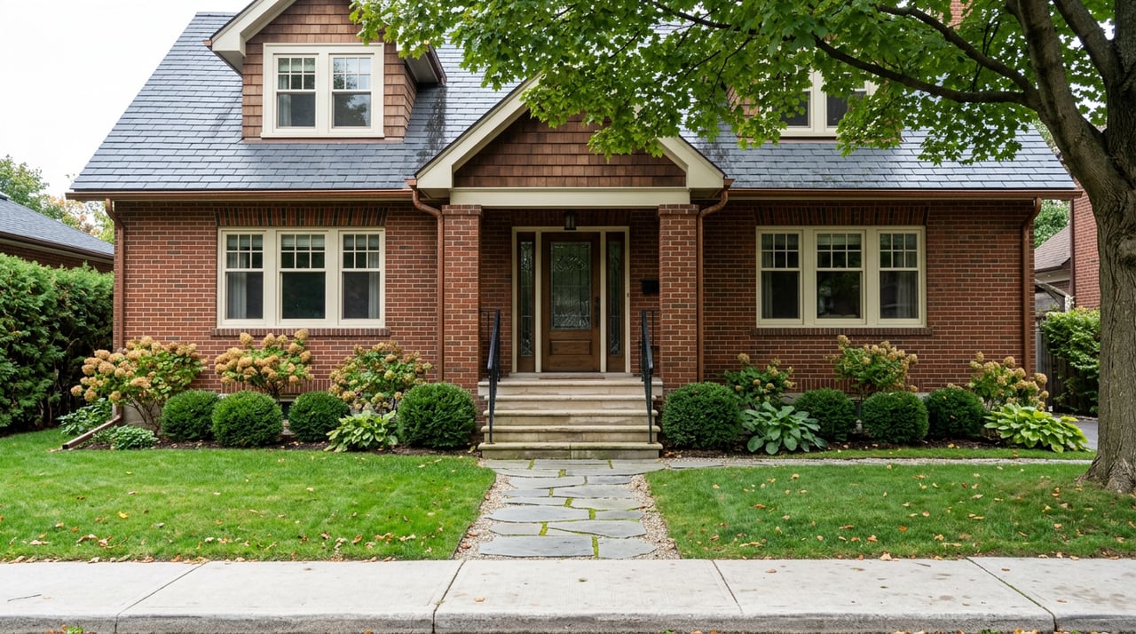
Moore Park’s defining trait is its green setting. Many homes were sited to take advantage of treed lot edges and ravine views, creating a calm, private feel that is rare this close to the core. The original development approach encouraged a garden suburb character, and lots often back onto the ravines. The result is a leafy streetscape where outdoor space feels like an extension of the surrounding valley system (City planning background).
The housing mix supports that impression. In the City’s Rosedale–Moore Park neighbourhood profile, nearly half of all dwellings are single-detached houses, which contributes to a quieter, more residential experience. The profile also points to an older building age across the area and a higher average household income compared with the city overall. You can explore the City’s data for a fuller picture of the housing stock and demographics (City neighbourhood profile).
Beltline and trails at your door
If you value daily outdoor time, the trail network is a standout. The Moore Park Ravine forms part of the Beltline Trail, a connected green corridor of about 8 to 9 kilometres across midtown. It links Mount Pleasant Cemetery, Moore Park Ravine, and on toward the Don Valley and the Evergreen Brick Works, making it popular for walkers, runners, cyclists, and families (Beltline Trail overview).
Pocket parks and adjacent green spaces add to this. You have the Vale of Avoca and David A. Balfour Park within easy reach, and the north edge opens to the expansive Mount Pleasant Cemetery, which functions as a de facto arboretum and walking area. The City and local groups have active stewardship and maintenance programs in these ravines, which supports both access and protection (City planning background).
Homes and streets you’ll find
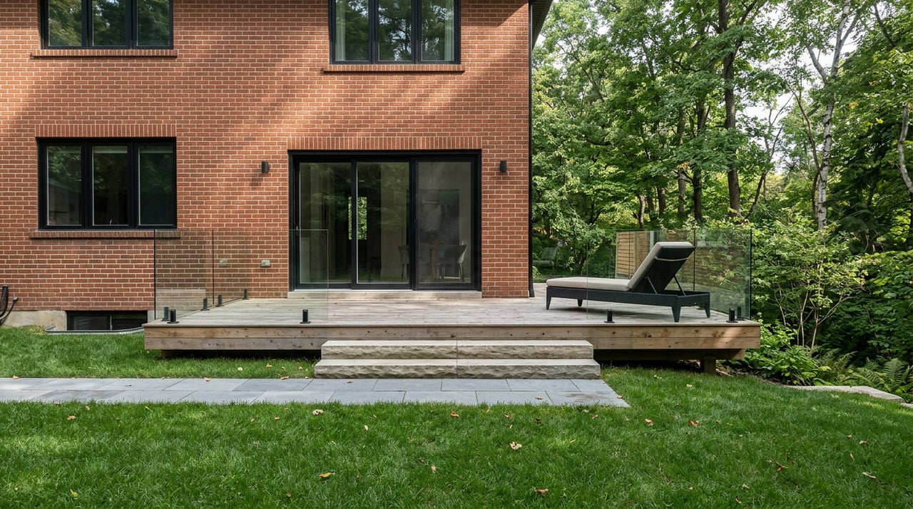
Most Moore Park homes date to the early 20th century, with the neighbourhood largely built out by the 1930s. You’ll see English Cottage, Georgian, and Tudor Revival styles, along with tasteful mid-century and contemporary renovations. Many properties have been updated to today’s standards while keeping the original streetscape character intact (City planning background).
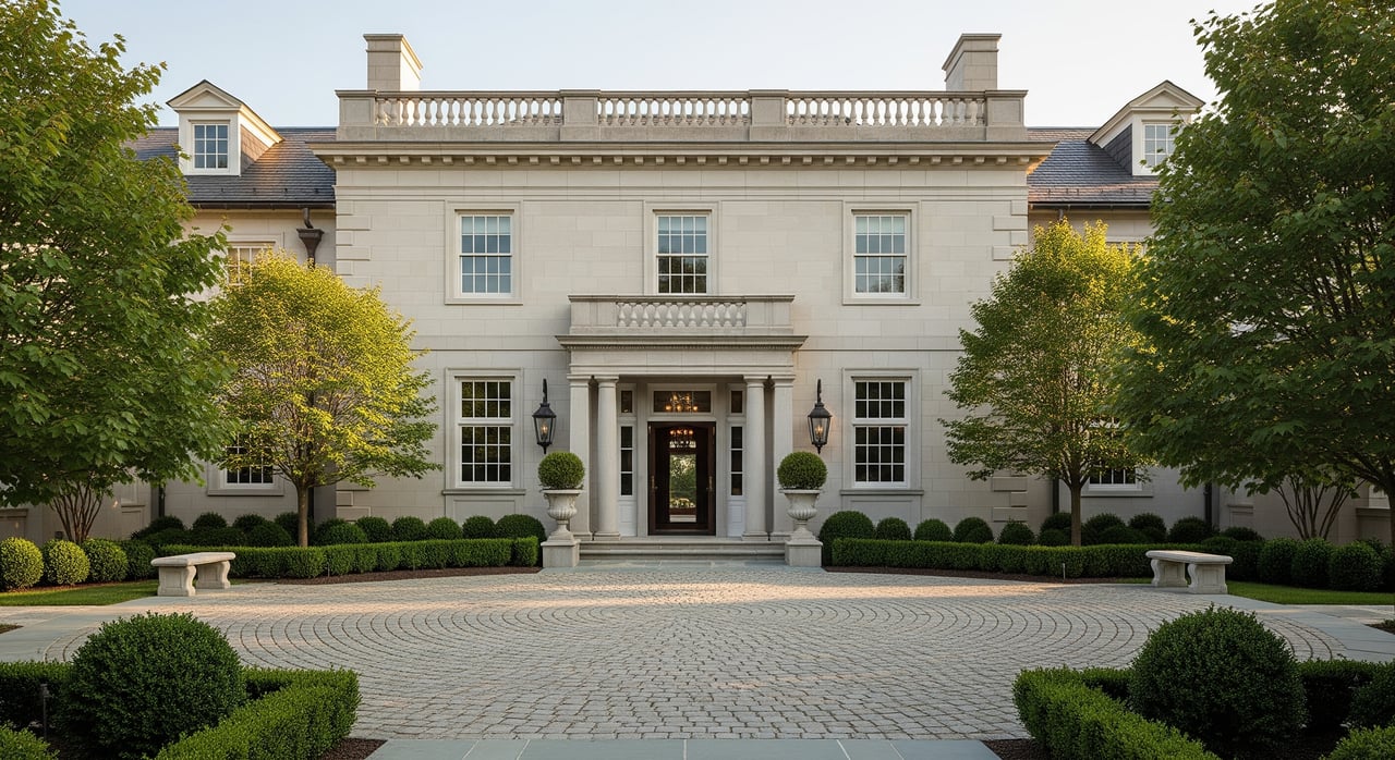
From a numbers standpoint, roughly 48 percent of dwellings in the Rosedale–Moore Park profile are single-detached houses, which helps explain the generous lot patterns and quieter feel on many blocks. The area’s housing tends to skew older in building age, with the City’s profile showing a large share built before 1960, and the profile notes a higher average household income than the city overall. These factors shape the market for renovations, estate homes, and premium listings across the neighbourhood (City neighbourhood profile).
Lot sizes and ravine-back cues
There is no single standard lot size here. Because of early suburban planning and the ravine topography, many parcels are wider and deeper than typical midtown properties. As you scan listings, you will often see widths in the 40 to 80 foot range, deep rear gardens, and occasional estate-size parcels that extend several hundred feet. Depth and privacy are common threads.
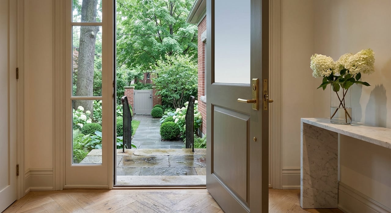
If a ravine outlook is a priority, certain streets are frequently described as ravine-facing, and property descriptions often highlight that the rear yard backs onto the Moore Park Ravine or the Vale of Avoca. Hudson Drive appears often in those descriptions. For a specific address, it is best to confirm ravine adjacency and property lines using the City’s parcel mapping tools or detailed listing documents.
Everyday convenience, close by
Living here is not only about tranquility. Daily errands are straightforward and walkable from many blocks.
- Mount Pleasant Road, within the Mount Pleasant Village BIA, offers cafés, bakeries, boutiques, and family-oriented shops in a compact main-street setting. The BIA’s merchant directory is a good snapshot of the corridor’s offerings (Mount Pleasant Village BIA).
- Yonge & St. Clair serves as a larger commercial and transit node for groceries, banking, restaurants, and services, and it draws many Moore Park residents for weekday errands and evenings out. City materials have recognized steps toward a BIA designation for this corridor, reflecting its role as a main-street hub (City council agenda reference).
For transit, you sit within walking distance of several Line 1 Yonge-University subway stations across the broader Rosedale–Moore Park area, including Summerhill, St. Clair, and Davisville. St. Clair station is a useful reference point for the corridor and connects you north and south with ease (St. Clair Station overview). Surface routes and the Beltline Trail also make short trips by foot or bike practical for many daily needs.
Schools and community amenities
Families often ask about local schools and programs. Public elementary options associated with the Moore Park area include Deer Park Junior and Senior Public School (JK to Grade 8) and Whitney Junior Public School (JK to Grade 6). Always confirm the current catchment for a particular address using the TDSB’s boundary tools or school pages before you rely on any assumptions about enrollment (Deer Park school page, TDSB).
Community programming, including seasonal activities, pool and tennis access, and local events, is supported by long-standing organizations referenced in City materials. You will also find neighborhood-scale playgrounds and the Vale of Avoca and David A. Balfour Park sections nearby, which complement the trail network for everyday recreation (City planning background).
What to consider with ravine lots
Ravine adjacency is a privilege, and it comes with practical checks. The City’s planning materials and local stewardship discussions highlight the importance of protecting ravines and managing slopes. Before you plan major landscaping, additions, or a rebuild, expect to review municipal permitting, conservation guidelines, and tree protection rules. If a property has a steep rear yard or sits close to a slope, a geotechnical assessment and structural review are smart steps to understand stability and any setback restrictions (City planning background).
A quick buyer checklist for ravine-edge homes:
- Confirm property lines and any conservation or setback zones.
- Ask for past permits and engineering reports related to additions or grading.
- Review tree-protection requirements before planning exterior work.
- Obtain a professional home inspection, and consider a geotechnical opinion where slopes are significant.
Is Moore Park right for you?
If you want the calm of treed lots and trail access without giving up midtown services, Moore Park is a compelling fit. You can start the day on the Beltline, run errands along Mount Pleasant or Yonge & St. Clair, then settle into a home that balances heritage character with modern comfort. With its mix of detached homes, larger lots, and strong community amenities, it offers a rare blend of privacy and convenience.
If you are considering a move into or out of Moore Park, thoughtful preparation and targeted marketing matter. For confidential advice, neighborhood context, and a tailored plan for your next step, connect with Kate Carcone for a conversation.
FAQs
What are Moore Park’s exact boundaries and nearby green spaces?
- The City frames Moore Park within Mount Pleasant Cemetery to the north, Park Drive ravine and CPR tracks to the south, Moore Park Ravine to the east, and the Vale of Avoca Ravine to the west, with access to the Beltline Trail and nearby park sections (City planning background; Beltline overview).
What types of homes and lot patterns are common in Moore Park?
- You’ll find early 20th century houses in English Cottage, Georgian, and Tudor Revival styles, many on wider or deeper lots, with about 48 percent of dwellings in the broader profile being single-detached (City planning background; City neighbourhood profile).
How walkable is Moore Park to shops, dining, and transit?
- Many blocks are within an 8 to 20 minute walk of Mount Pleasant Village for cafés and shops and Yonge & St. Clair for larger services and subway access, including St. Clair station on Line 1 (Mount Pleasant Village BIA; City council agenda reference; St. Clair Station overview).
Which public schools serve Moore Park addresses?
- Deer Park Junior and Senior Public School and Whitney Junior Public School are commonly referenced for elementary years, but you should always verify the current catchment for your specific address with TDSB tools (Deer Park school page, TDSB).
What should I check before buying a ravine-adjacent home in Moore Park?
- Review municipal permitting and conservation rules, confirm any setback zones, plan for a professional inspection, and consider a geotechnical assessment where slopes are present, as noted in City materials on ravine stewardship (City planning background).